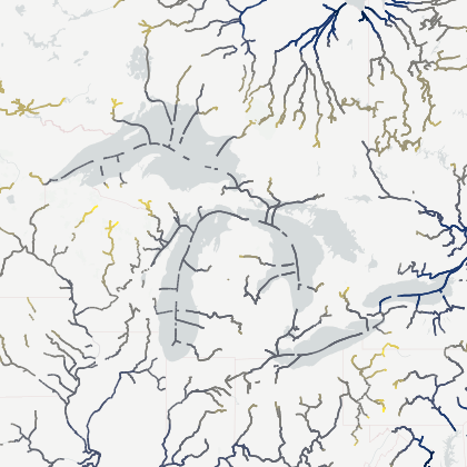
Theia Surface Water S2 Yearly Occurrence
Description
The Theia Sentinel-2 Surface Water Yearly Synthesis- Level-3B dataset provides a yearly synthesis of rasterized water detection data from Sentinel-2 MultiSpectral Instrument, along with appropriate flags.
This dataset is also available at monthly rate Theia Sentinel-2 Surface Water Monthly Synthesis- Level-3B and at Level-2 in the Theia Sentinel-2 Surface Water - Level-2B datasets respectively.
The dataset was generated using the SurfWater Processing Chain.
The Theia Sentinel-2 Surface Water Yearly Synthesis- Level-3B dataset is organized into the original Sentinel-2 UTM Tiling Grid provided by Copernicus. Each of these tiles nominally contains data over 100 km x 100 km.
The dataset can be cited using the following DOI: https://doi.org/10.24400/329360/SW_L3_S2_YEARLY
Please also use the following reference publication:
Peña-Luque, S.; Ferrant, S.; Cordeiro, M.C.R.; Ledauphin, T.; Maxant, J.; Martinez, J.-M. Sentinel-1&2 Multitemporal Water Surface Detection Accuracies, Evaluated at Regional and Reservoirs Level. Remote Sens. 2021, 13, 3279. https://doi.org/10.3390/rs13163279