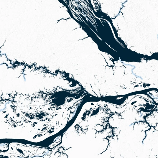
Theia Surface Water S1 Instant Watermask
Description
The Theia Surface Water S1 Instant Watermask dataset provides rasterized water detection data from Sentinel-1 Radar Instrument, along with appropriate flags.
This dataset is also available at Level-3 with monthly and annual syntheses in the Theia Surface Water S1 Monthly Occurrence and Theia Surface Water S1 Yearly Occurrence datasets respectively.
The dataset was generated using the SurfWater Processing Chain.
The Theia Surface Water S1 Instant Watermask dataset is organized into the original Sentinel-2 UTM Tiling Grid provided by Copernicus. Each of these tiles nominally contains data over 100 km x 100 km.
The dataset can be cited using the following DOI: https://doi.org/10.24400/329360/SW_L2_S1_SINGLE
Please also use the following reference publication:
Peña-Luque, S.; Ferrant, S.; Cordeiro, M.C.R.; Ledauphin, T.; Maxant, J.; Martinez, J.-M. Sentinel-1&2 Multitemporal Water Surface Detection Accuracies, Evaluated at Regional and Reservoirs Level. Remote Sens. 2021, 13, 3279. https://doi.org/10.3390/rs13163279