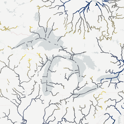
Mean Lake Surface from SWOT
Description
The SWOT Mean Lake Surface Product provides high-resolution mean water surface elevations for large lakes derived from SWOT observations. These mean surfaces are associated with lakes defined in the Prior Lake Database (PLD) based on area criteria, currently limited to lakes larger than 100 km².
The product is generated from SWOT Level-2 PIXC (Pixel Cloud) data. Individual PIXC tiles intersecting a given lake are processed using a dedicated averaging and tile-combination algorithm to ensure spatial consistency and continuity across the full lake extent. This approach mitigates edge effects and inter-tile biases while preserving the intrinsic high spatial resolution of SWOT observations.
The resulting mean lake surface should be interpreted as a high-resolution proxy of the local geoid over the lake. It represents the equipotential surface corresponding to the lake in hydrostatic equilibrium under mean conditions. It does not represent the lake area; rather, it characterizes the mean topographic water surface onto which temporal water level variations can be referenced.
These products are particularly suited for hydrological studies requiring a consistent vertical reference at lake scale, as well as for improving the understanding of spatial variability in water surface topography observed by SWOT.
Be aware, as explained in the reference paper, that the grid resolution can vary between lakes. It was generally set to 250m, providing a balance between spatial detail and residual random noise. However, for relatively small lakes, a finer 100 m grid was used to preserve spatial information, while for very large lakes a coarser 500 m grid was employed to reduce noise and computational load."
If you use this dataset for your work, please use the following references:
- DOI: https://doi.org/10.24400/329360/MEAN_LAKE_SURFACE
- Reference paper: Mean Lake Surfaces from SWOT Observations, submitted to IEEE TRANSACTIONS ON GEOSCIENCE AND REMOTE SENSING