SWOT L4 River Bathymetry SICFLOW
Description
The Surface Water and Ocean Topography (SWOT) mission was designed jointly by NASA and Centre National D'Etudes Spatiales (CNES) to provide global mapping of the world's ocean and its terrestrial surface water including rivers, lakes and reservoirs and wetlands.
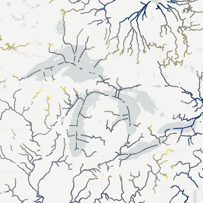
The present SWOT SICFLOW 1D-bathymetry product provides a one dimensional representation of the river effective cross-section shape at each SWOT node (ie. from the node-scale SWORD Prior River Database, accessible on our catalogue). The product is built using SWOT River Single Pass (RiverSP) node observations of water surface elevation (wse), width as well as reach observations of slope. The geometry is described by paired elevation and width values , which together define the variation in inundated width across the reconstructed vertical profile. The elevation variable gives the elevation of each cross-section point relative to the geoid, while the corresponding width variable gives the river width at that elevation. The complete set of elevation–width pairs can therefore be used to reconstruct the cross-sectional geometry .
Before bathymetry reconstruction, the observations undergo quality filtering, spatial and temporal densification, and smoothing. This processing removes unreliable measurements, fills gaps in the SWOT records and produces spatially and temporally coherent hydraulic profiles. The resulting catalogue of processed wse and width states is used to derive the SICFLOW bathymetry product.
The product distinguishes between the portion of the 'dry' cross-section derived from variations observed by SWOT and the 'wet' permanently submerged portion inferred through hydraulic inversion. This transition is identified by h_interface, defined as the elevation of the lowest observed hydraulic state. Above this interface, the cross-section is approximated from the relationship between SWOT water-surface elevation and width across the available SWOT catalog of hydraulic conditions. The reconstructed profile is subsequently optimized and simplified to a maximum of 10 elevation–width points, preserving the dominant variations in cross-sectional geometry while providing a compact representation suitable for large-scale applications. Below the interface, where the channel geometry cannot be directly observed from surface variations, the wet bathymetry is estimated through the discharge estimation module SIC4DVar, using integrated version of the Gauckler-Manning-Strickler (GMS) formula and Bayesian estimation approach.