The FloodDAM-DT QuantCube Finantial Impact and Cost dataset provides information on affected population, maximum flooding, total cost per category over the whole area, values for each class (physical risk map with associated geometry).
The dataset is composed of three types of data
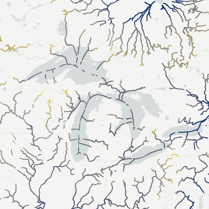
Global files providing detailed information about :
population distribution over France (GeoTif)
exclusion mask of the area of interest provided by CERFACS modeling (GeoTiff)
polygon of interested area (GeoJSON)
An Excell file wich represents detailed information about the financial cost of flooding specifically for agricultural areas. This data is derived from the sum of the costs of each pixel labeled as agricultural land within the concerned area. This summary allows for a comprehensive assessment of the total economic impact of the flood on agricultural activities.
A multi-band raster file comprising six distinct bands, each representing different aspects of flood risk and damage assessment in a specified area. Below is a detailed description of each band:
Land Cover (Band 1): This band represents the land cover classification of the concerned area. It categorizes different land cover types, which is crucial for understanding the distribution of land use and its vulnerability to flooding.
Mean Water Depth (Band 2): This band shows the mean water depth values for each pixel throughout the entire flood event. It provides an average measurement of how much water accumulated over each pixel.
Maximum Water Depth (Band 3): This band indicates the maximum water depth recorded at each pixel during the flood event.
Flood Duration (Band 4): This band reflects the duration of flooding for each pixel, showing how long each area remained flooded.
Agriculture Damage Factors (Band 5): This band represents the damage map for agricultural areas. It is derived by combining the physical risk map (Bands 2, 3, and 4) with a damage function. The damage function assigns a factor between 0 and 1 to each pixel, reflecting the severity of the flood event's impact on agricultural land.
Agriculture Cost (Band 6): This band shows the financial cost of the flood event for each pixel. It quantifies the economic impact of the flooding on the agricultural sector by assigning a monetary value to the damage sustained by each pixel.
License available .