IDEAS RAPID Discharge Vector
Description
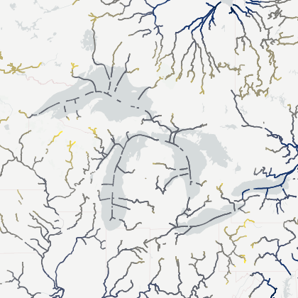
The Routing Application for Parallel computatIon of Discharge (RAPID) is an open-source river routing model. Given surface and groundwater inflow to rivers, this model can compute the flow and volume of water everywhere in river networks made out of many thousands of reaches.
The design of RAPID allows it to be adapted to any river network, if given basic connectivity information. RAPID uses a matrix version of the Muskingum method, and has an automated parameter estimation procedure that allows finding optimal model parameters based on available gage measurements.
RAPID has the ability to run and/or optimize model parameters on any subbasin included in its computing domain. If major man-made infrastructures are present on the river network, RAPID allows to easily substitute upstream flow measured by gages within its simulations of river flow and its optimization of parameters.
RAPID discharge Qout (m3/s) is based on a simulation using the output of the land surface model LIS Framework (https://lis.gsfc.nasa.gov/). Within LIS, NOAHoah-MP Land Surface Model (LSM), forced by IMERG our GDAS meteorological precipitation data is used to simulate runoff. Then, depending on scenario type, the precipitation data forcing NoahMP LSM have been increased of 2 and 3 times.
For further information on RAPID including peer-reviewed publications, tutorials, sample input/output data, sample processing scripts and animations of model results, please go to: (rapid-hub.org)[http://rapid-hub.org/].
License available here.