SWOT Prior River Database Reaches
Description
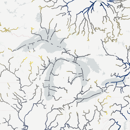
The Reach version of the SWOT Prior River Database SWORD dataset provides high-resolution river reaches (~10 km-long) with attached hydrologic variables (water surface elevation, width, slope, etc.) as well as a consistent topological system for global rivers 30 m wide and greater.
The dataset combines multiple global river- and satellite-related datasets to define the reaches used in the SWOT Level-2 HR River Single Pass - Reach dataset.
The SWOT Prior River Database SWORD product is organized into 9 so-called continents subdivided in subregions.
Please see the Product Description Document and Altenau et al. (2021) for additional information. You may also find SWOT-related tutorials
here.
The latest release of SWORD may be explored and downloaded on the dedicated website https://www.swordexplorer.com/.
If you use the SWORD Database in your work, please cite: Altenau, E. H., Pavelsky, T. M., Durand, M. T., Yang, X., Frasson, R. P. d. M., & Bendezu, L. (2021). The Surface Water and Ocean Topography (SWOT) Mission River Database (SWORD): A global river network for satellite data products. Water Resources Research, 57, e2021WR030054. https://doi.org/10.1029/2021WR030054
Explore a gallery of open-source tutorials and tools intended to ease the utilization of SWOT data products here.